Drone Surveying of “Big Ag” Crops
-

Survey Mapping
Drone surveying of fields of crops at high resolution for planning, irrigation and monitoring seasonal crop health is most common today.
Pilots contract with DSP’s to map 1000’s of fields, and thus provide reliable data to growers, seed companies, community co-ops, and the local farmers.
By surveying the fields at every key growth stage, year after year, seasonal data flows, and with machine-learning on the back-end, this data can be leveraged to maintain field health not just all season long but across crop rotations to maximize farm profits.
-

Crop Analysis
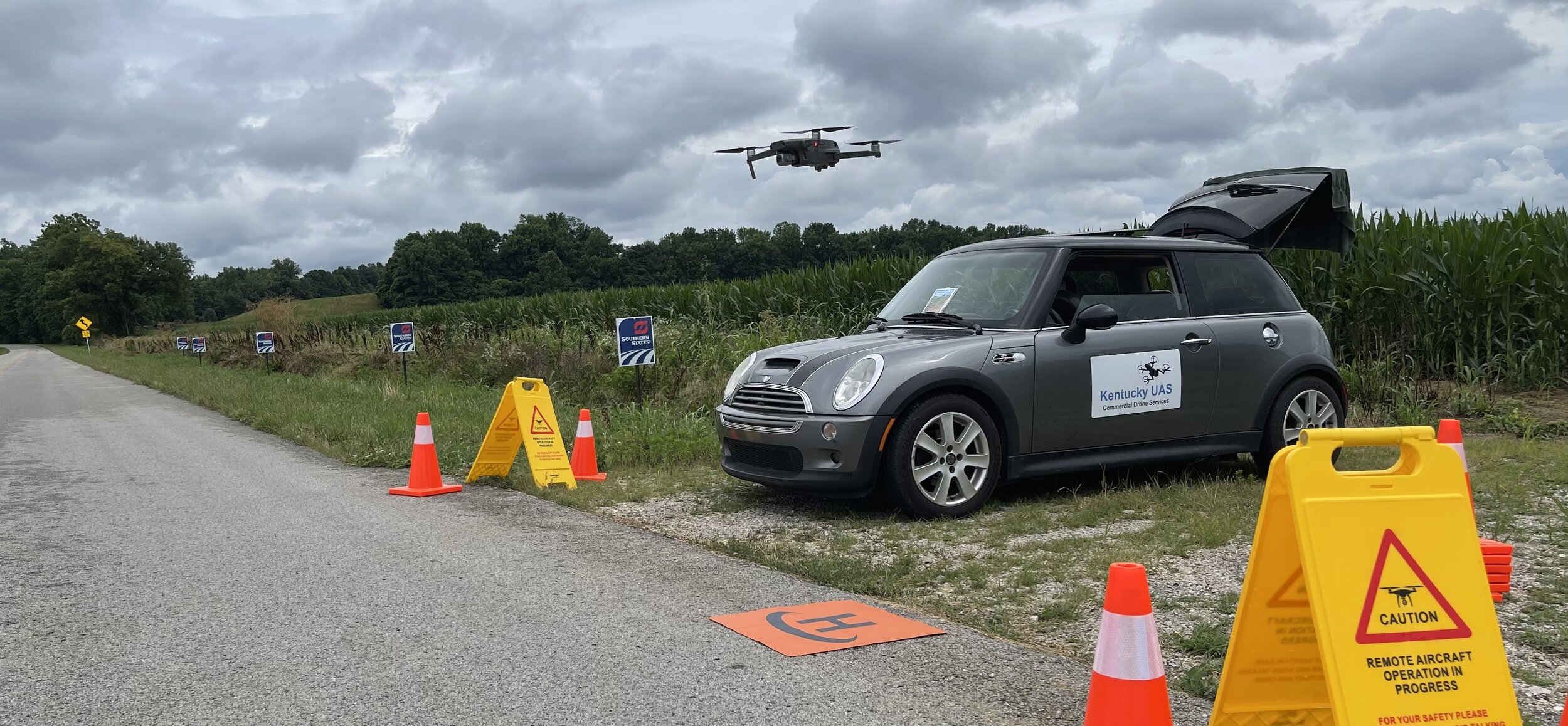
Probably the most enjoyable way to fly drones is surveying farmland. It’s peaceful. Quiet. Just you and mother nature all around you, doing her thing.
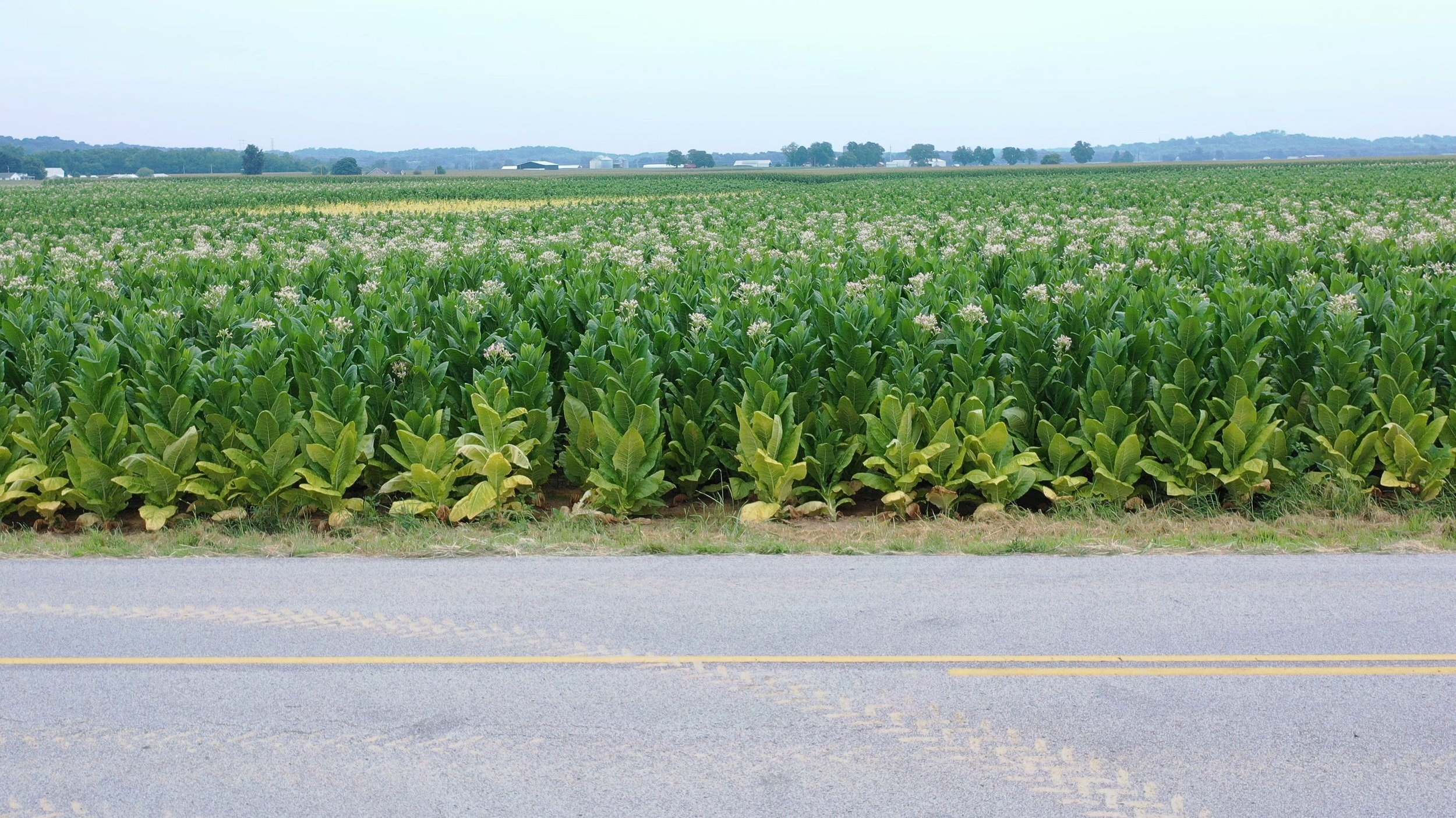
KentuckyUAS has flown missions over of crops of wheat, corn, soybean and tobacco across the States of Kentucky, Illinois, and Indiana.
Kentucky UAS has flown Big Ag missions now totaling 60,000+ acres, while documenting the highly rewarding experience for future Ag pilots to benefit from.
-

Assesses Your Fields
Crop Health — monitor for disease
Irrigation — spot issues like ponding
Plant Counts — estimate yields
Stand Establishment — corn, soy-bean
Yield Estimates — crop & field based
Slope and Drainage — manage water
Variable Rate Prescriptions — apply just the right amount using spray-drones
Soil Analysis — measure fields nitrogen, calcium, magnesium and potassium.
Supported Crops
-

Tobacco
-

Corn
-

Soybean
-

Avacado
-

Banana
-

Sugar Cane
-

Hemp
-

Pine Tree
-

Palm Oil
-

Potato
-

Rapeseed
-

Sunflower
-

Tomato
-

Wheat
-

Barley