

Drone Services for Construction
-

Mapping
Enterprise RTK mapping services are available as well as standard high-resolution RGB and Certified Thermal (L1+) mapping of construction.
-
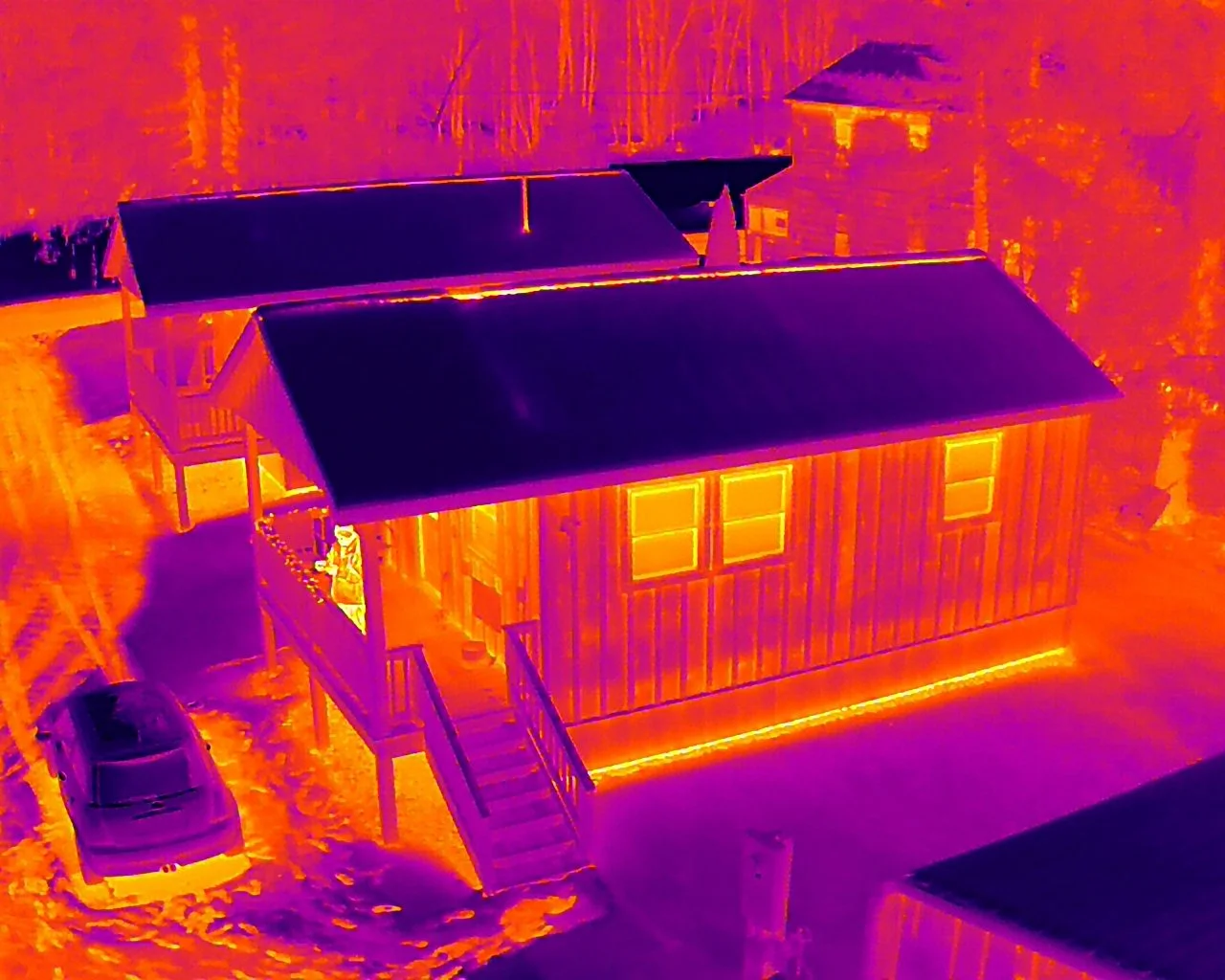
Thermal
Thermal imaging is useful for detecting issues invisible to the naked eye via infrared radiation, before significant problems occur.
-

Inspections
Aerial drone inspections are useful for safely finding issues early, resolving quickly, and ensuring all repairs are performed well.
-

Monitoring
Site monitoring with progression video, mapping, 3D modeling, photography, stockpile and inventory management,
-

3D Modeling
Kentucky UAS can create 3D models to help crews determine challenges, identify potential flaws, cut waste, and keep the team on track.
