Indiana Drones: Forest of Mystery
-

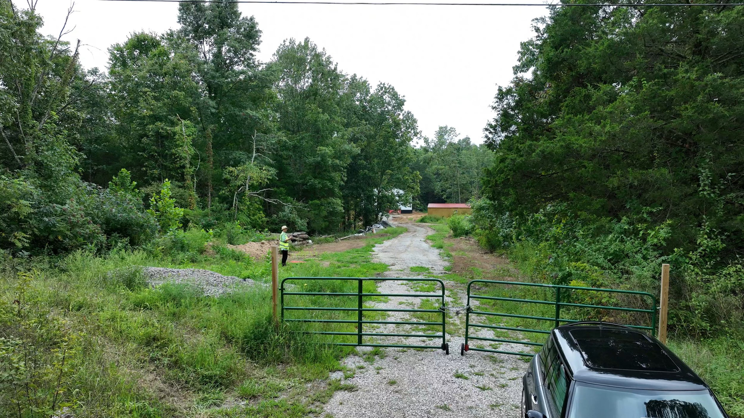
Challenge
Pumpkin Center, IN — Unusual mission. Mapping of terrain, photos, and a manual survey 5K flight through a dense muddy jungle. Branches. Sensors were sure to cause issues, but for safety could not be disabled.
-

Solution
Kentucky UAS delivered. In addition to RTK Mapping of property, and photos with property outlines, we flew a cinema drone into the forest as far as safely possible. Drone survived. The client was thrilled. Success.