

Roof Mapping & Inspections for Business
-
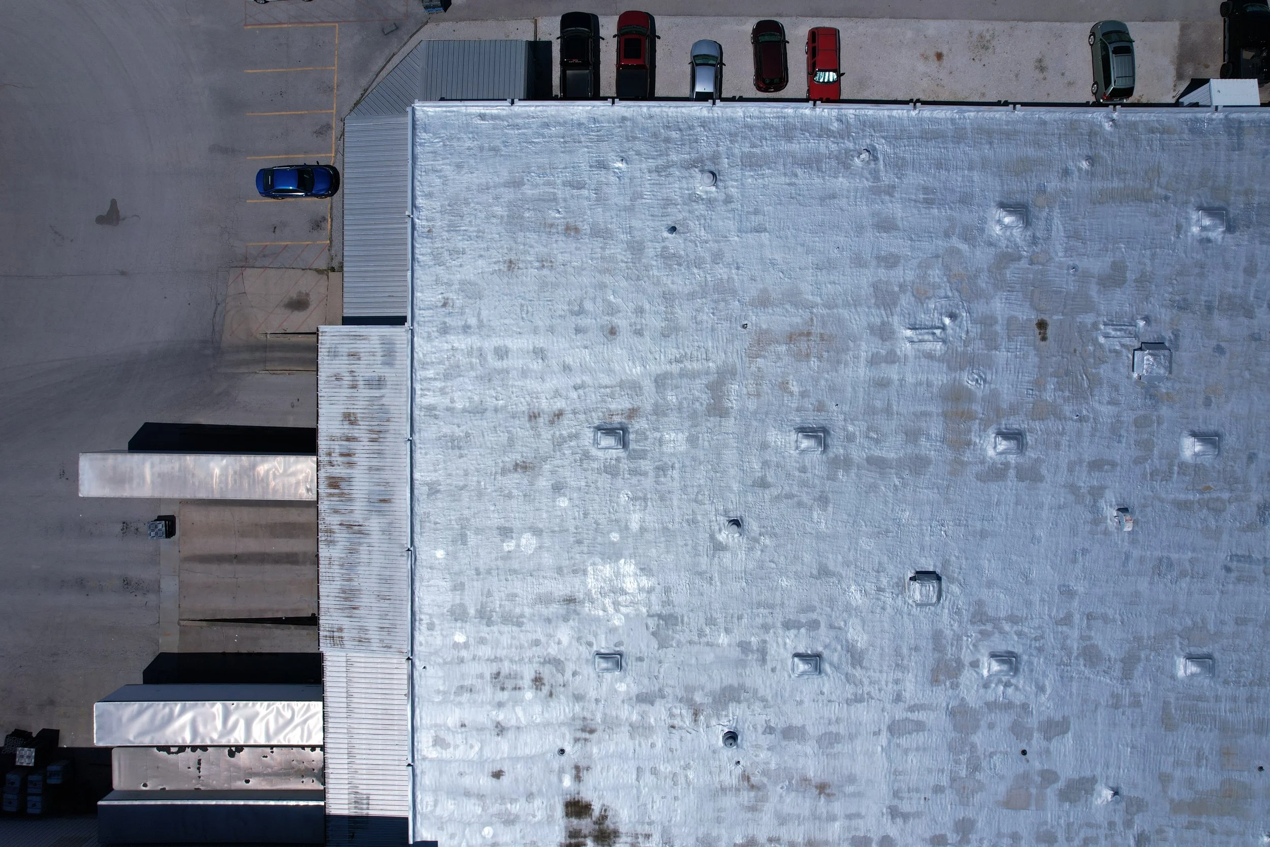
Roof Mapping & Inspections
Kentucky UAS offers drone roofing services to commercial business sites. Aerial 2D and 3D mapping can reveal issues that are plainly in the visible spectrum — at least to the eyes of experienced roofing professionals.
Next we offer perimeter shots, circling the subject at close distance, elevation and camera angle in a strictly manual flight which is needed to get “close-up” shots from every possible angle. The trick for pilots is ensuring a safe wire-free fight path around our subjects.
-

Thermal Mapping & Inspections
Aerial Industry Certified Thermal (L1+) mapping and inspections of large industrial sites at night often reveals issues our eyes cannot see, like hidden water damage, cracks in support systems, equipment failures and more.
A properly certified pilot will evaluate a variety of operational conditions. From mission goals to weather, safety concerns, local hazards and variables which effect the accuracy of the data collection process — and adapt to deliver reliable data @ Kentucky UAS.
